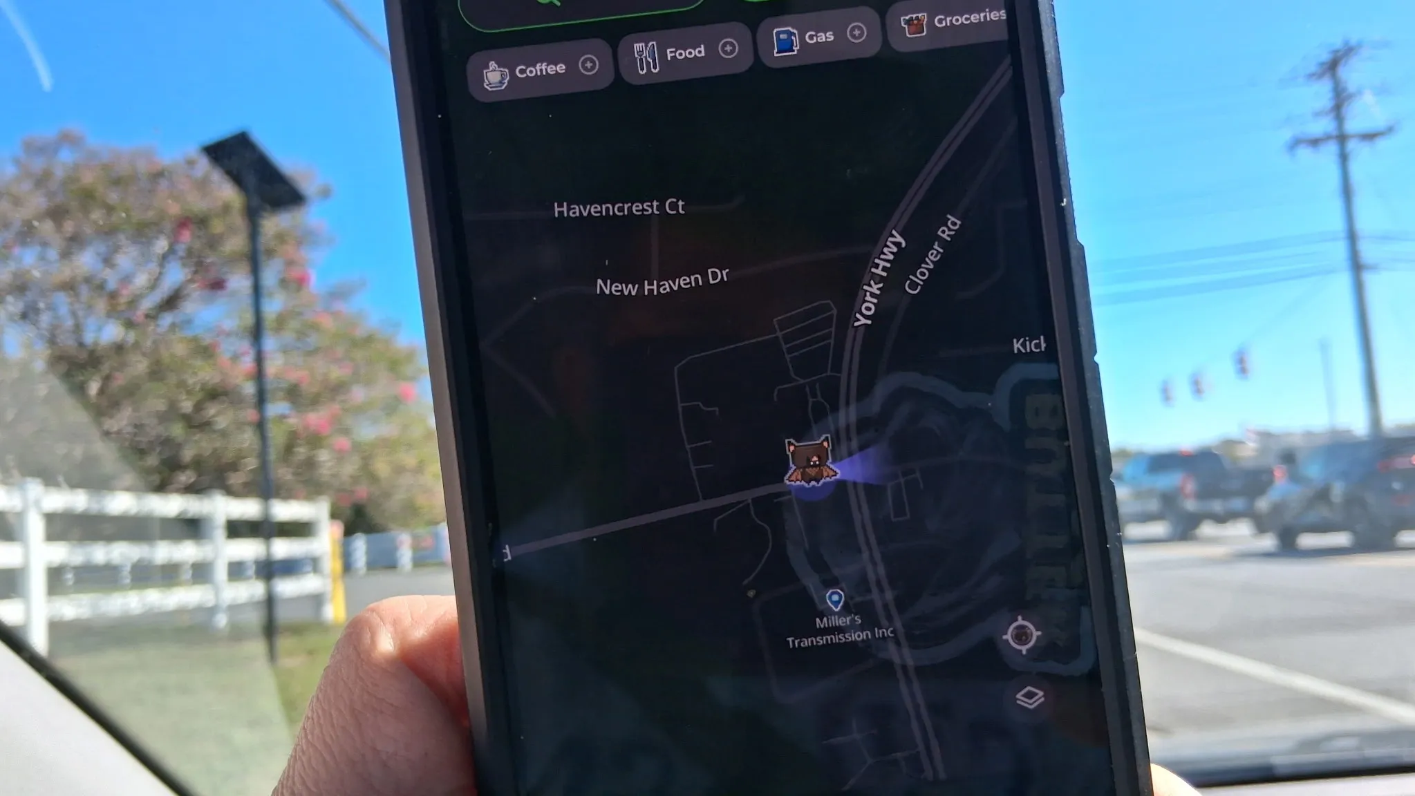
MapQuest has added a surveillance layer to its navigation app that displays the locations of known license plate reader cameras, including devices from Flock Safety, Motorola Solutions, Genetec, Axis Communications, Axon, Leonardo, Neology, Rekor, PlateSmart, Ubicquia, Verkada, and others.
Users can activate the layer by tapping the layer icon on the main navigation screen. When enabled, cameras appear as small red icons on the map, with a vision cone showing the direction each camera faces. The layer does not yet offer automatic routing around license plate readers, but allows users to manually avoid them.
MapQuest did not disclose how it sourced the camera locations. The source notes that several crowdsourced maps exist online, including OpenStreetMap, which document license plate reader positions. Flock Safety has actively opposed such crowdsourced efforts. The data MapQuest uses appears to be user-generated and has been described as reliable by the source.
Google Maps and Apple Maps do not currently offer license plate reader location data. Waze identifies "police cameras," but that category includes speed cameras and general traffic cameras, making it difficult to distinguish which are surveillance devices specifically.
According to the source, one medium-sized US town of 80,000 people has more than 30 license plate readers deployed. A 2024 report cited in the source material noted that approximately 90,000 Flock cameras have been installed across the United States.
MapQuest, the navigation service that dominated online directions before Google Maps and other competitors emerged, has recently gained renewed attention. The app added Android Auto support and generated user interest in August after announcing it would not change the name of Lake Ontario.
The addition of the surveillance layer reflects growing public concern about the deployment and scope of automated license plate reader networks, which capture and store vehicle identification data.